


Geology
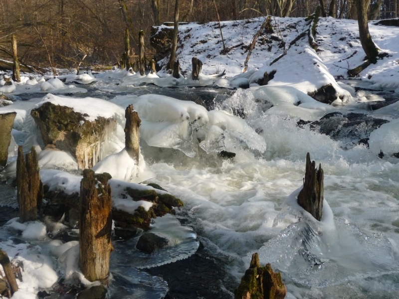
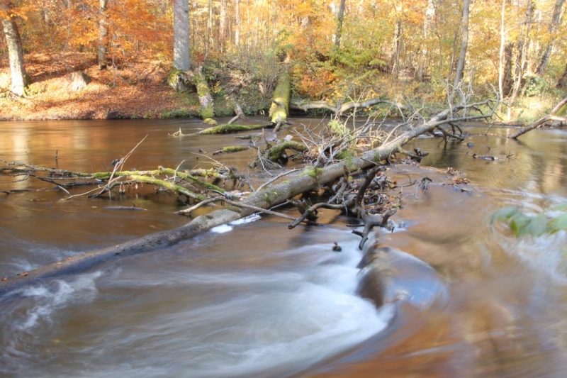
The Park area is dominated by outwash – vast sandy or gravel cone shaped plains – formed by the activity of postglacial waters. They encompass for over 70% of the Park area. Additionally, there are water-glacial sands and gravel (upper and lower). Locally one can find boulder-clay, loams, muds, hill-side sands and gravels, river sands and gravels, but also Holocene creations on the bottoms and in lower parts of the valley hills of lakes and no-outlet depressions. The outwash plain is cut by deep crevices of the Drawa and Płociczna river valleys, and by a long string of gully lakes. The gullies make a complicated net that cuts the outwash in many directions.
The northern part of the Park has the highest layout of nearly 97m. above sea level. The southern part lowers itself to about 70m. a.s.l. The highest point of the DNP is in the Lake Martew area and riches 105,2m. a.s.l. Under the several-dozen-meters thick layer of glacial sediments, hidden lie some very complicated geological structures made of cretaceous rocks, including remains of a mountain stretch that used to run through the entire area of present-day Poland.
In some places, patches of boulder-clay are visible from beneath the postglacial ground moraine. The more fertile soil of those areas caused some settlement glades with small hills to develop there.
SOILS
The most common types and kinds of soil found in the Drawa National Park area reflect the geological situation and economic activity, closely related to agriculture and forestry known to prefer coniferous species (mainly pine).
The Drawa National Park is located on an outwash plain caused in the Pomeranian phase of the Northern-Polish (Baltic) Glaciation. In the northern (from Zatom do Drawno) and middle (the Radęcin Reserve) parts of this area, floes of boulder-clay are present. To the east of Drawa, near Sitnica, Głusko, and Ostrowiec, the boulder-clays are covered with a thin layer of outwash sands. The outwash plain of Równina Drawska is cut by rivers and accompanying old and current accumulation terraces, and by gully lakes and melt-type depressions. The gullies parallel of latitude (ex. Rynna Moczelska) have the character of riverside near-glacial depressions. Within rivers, lakes, gullies, and melt-type depressions, we can find peatbogs, muds, dry-rots, and in-flow creations. There are eolic creations in the outwash plains. In the Rynna Mochelska area, some marginal dusts and loams are present.
The geological situation described above causes some specific kinds of soil to appear here. The most common in the Park is the red soil created by the outwash sands and the river sands of old accumulation terraces of Drawa and Płociczna. In addition, the following types of soil have been found:
- Loose initial soils – found in the areas of catastrophic floods (usually canal embankments) and on hills
- Underdeveloped soils of loose rocks – make by eolic sands and on eroded slopes of river valleys, most commonly accompanied by mineral soils
- Brown soils – connected mainly to the areas of glacial clays, less commonly with river sands and accumulated dust
- White soils – they occupy only a small area near the outwashes, especially in the upper parts of hill slopes
- Grey-white soils – in lowlands
- Black soils – in lowlands, created by boulder clays and dust
- Ground soils – in the rivers’ flooding terraces and in lowlands
- Mud soils – in the Drawa and Płociczna meanders
- Peat soils – near Drawa, Płociczna and in lowlands by the lakes – low, transitional, and high peatbogs
- Dry-rot soils – same as peat soils, they accompany peat and mud soils
- Dry-rot like soils – uncommon, often connected to old farming areas
- River silts – found in the southern part of the Park, near Drawa, often in its meanders, connected to old farming areas
- Diluvial soils – often found at the feet of hills and slopes, and in the areas of diluvial scones, mainly near Płociczna. Because of their scarce character, they are often not mentioned on the maps and their meaning is underestimated.
In the Drawa National Park one can find subtypes of the soils described as native to the Polish Lowland. They encompass for a whole array of forest habitats, from fresh woods to ash-tree swamps, sometimes of marsh character. Especially worthy of attention is the abundance of fresh forest on brown and red soils.


Search
Gallery


Newsletter
Będziemy informować Cię o nowościach w serwisie oraz ważnych wydarzeniach w Parku.
Contact
ul. Leśników 2, 73-220 Drawno,
tel.: (095) 768 20 51,
(095) 768 20 52
fax: (095) 768 25 10
email: [email protected]