


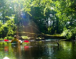
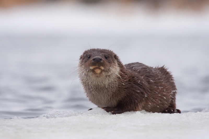
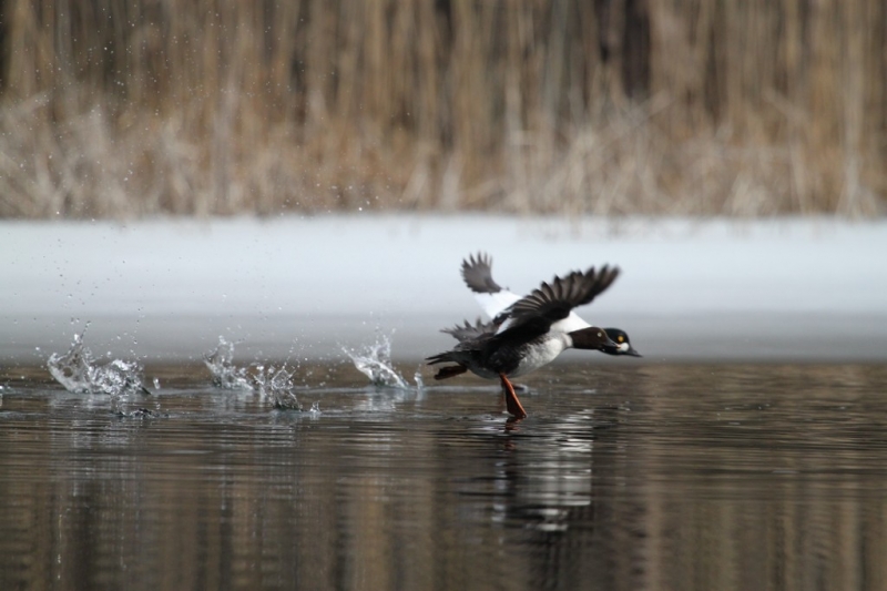
Water trial
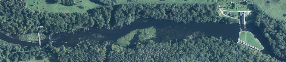
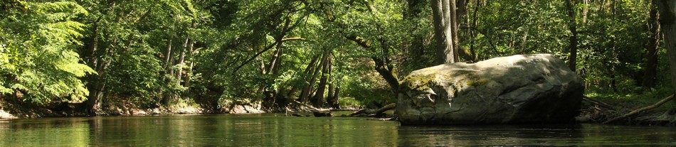
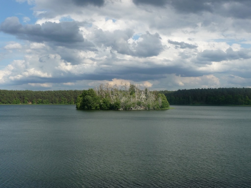
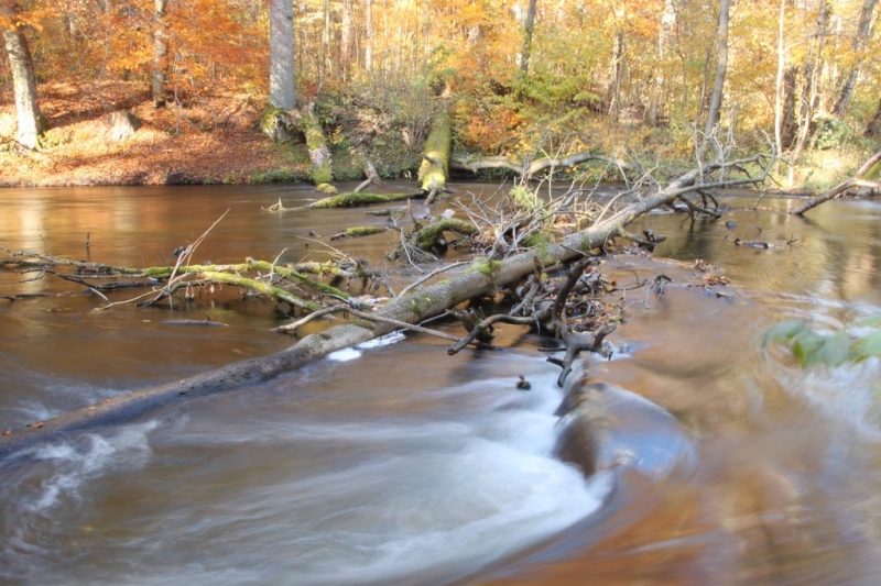
The Drawa river is considered to be one of the most beautiful rivers in Poland. Its source is situated at an altitude of 150 metres above sea level in the Valley of the Five Lakes [Dolina Pięciu Jezior] near Połczyn Zdrój. The river flows through two geographic regions: Drawskie Lake District [Pojezierze Drawskie] , where it flows through numerous lakes and Drawska Plain [Równina Drawska], winding through Pomeranian forests. The area of its basin is almost 3300 square metres. The river ends its course, flowing into the Noteć at a height of 30 metres above sea level near Krzyż Wielkopolski. The average decrease in the Drawa is 0.6 ‰.
In accordance with the effective regulations, access to the Drawa river within the Park limits is available between 1 January and 15 March, and between 1 July to 31 December, from 9:00 a.m. to 19:00 p.m. The maximum number of 700 people at one time may engage in tourism on the Drawa river within the Drawa National Park.
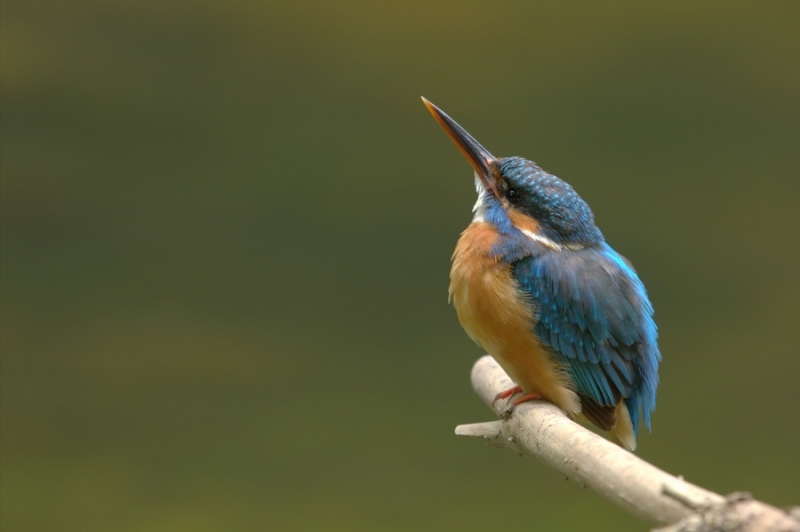
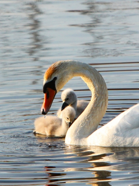
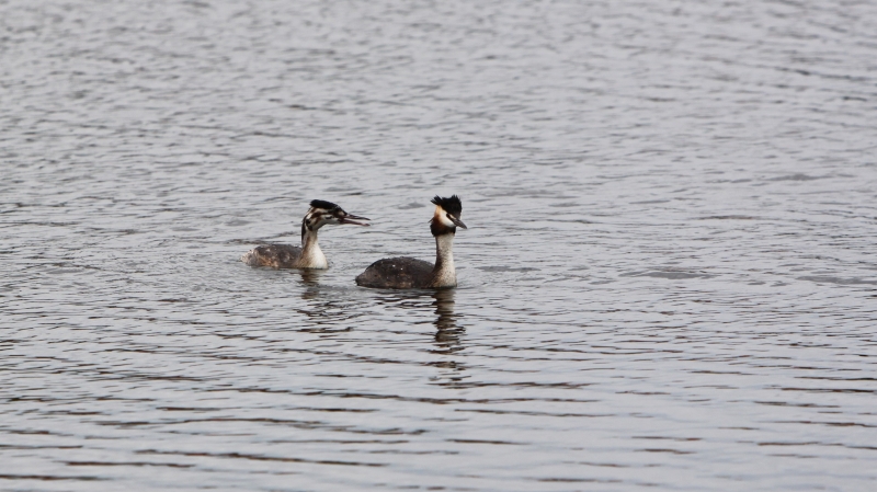
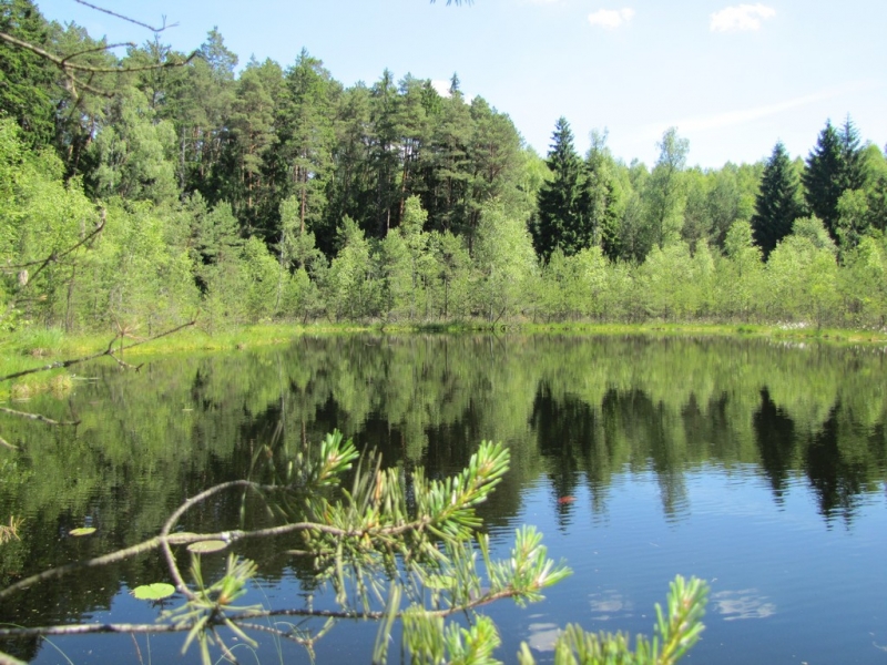
Within the DPN the Drawa exhibits a variable nature. First it is calm, then it accelerates its course, and a number of fallen trees appear in swift currents. Among meadows and forests the winding river channel cuts through high banks of sandy slopes. Over its subsequent sections a quick current and a stony bed change in sluggish waters and a sandy bottom covered with underwater meadows.
The distances between the available sites within the DNP
The length of the Drawa within the DNP: 41 km.
- Drawno (outflow from Dubie Lake) - "Drawnik" Marina - 1 km
- Drawnik Marina - "Most Barnimie" berth for canoeists - 4.6 km
- "Most Barnimie" berth for canoeists - "Barnimie" camping site - 3.5 km
- "Barnimie" camping site - "Kładka Konotop " [Konotop Footbridge] berth for canoeists - 4.4 km
- "Kładka Konotop" berth for canoeists - "Most Zatom" [Zatom bridge] pickup of canoes - 4.4 km
- "Most Zatom" pickup of canoes - "Bogdanka" camping site - 0.4 km
- "Bogdanka" camping site - "Sitnica" camping site - 7.9 km
- "Sitnica" camping site - "Pstrąg" [Trout] camping site - 5.9 km
- "Pstrąg" [Trout] camping site - "Most niskowodny" [Low water bridge] pickup of canoes - 3.3 km
- "Most niskowodny" pickup of canoes - "Kamienna " [Stony] camping site - 2.5 km
- "Kamienna " [Stony] camping site - Płociczna Estuary (DNP border) - 3.2 km


Search
Gallery
Newsletter
Będziemy informować Cię o nowościach w serwisie oraz ważnych wydarzeniach w Parku.
Contact
ul. Leśników 2, 73-220 Drawno,
tel.: (095) 768 20 51,
(095) 768 20 52
fax: (095) 768 25 10
email: [email protected]